Artyzen Singapore
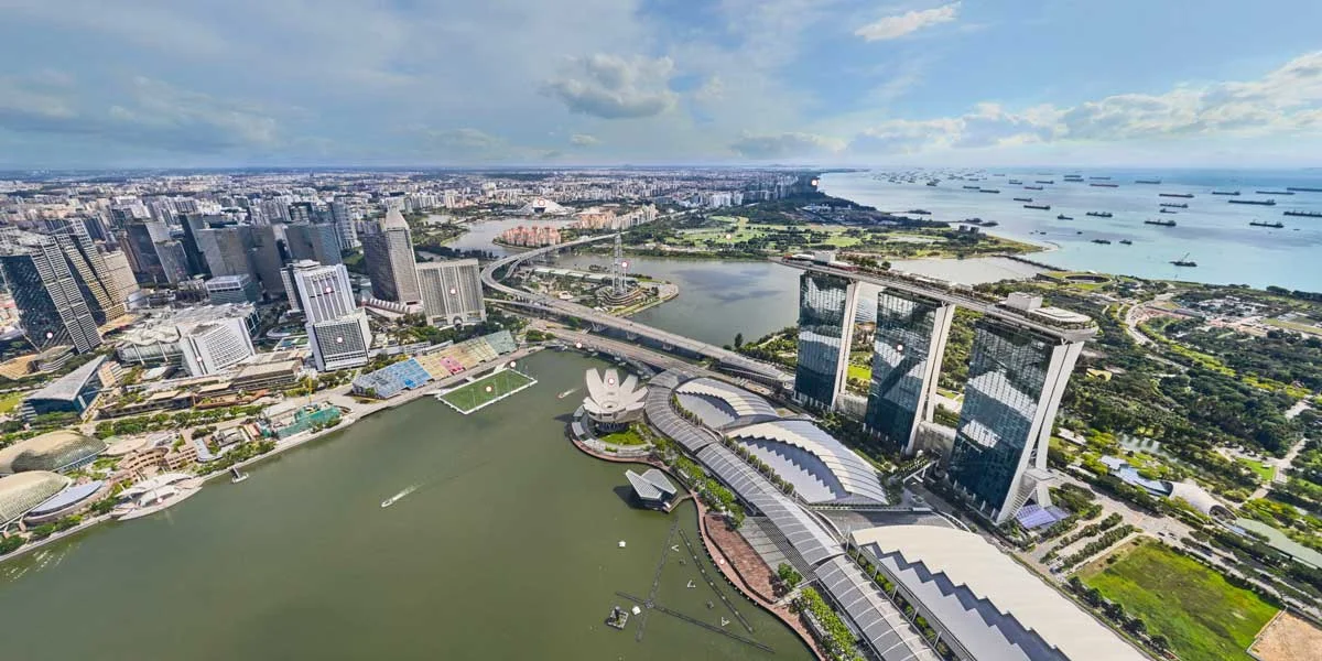
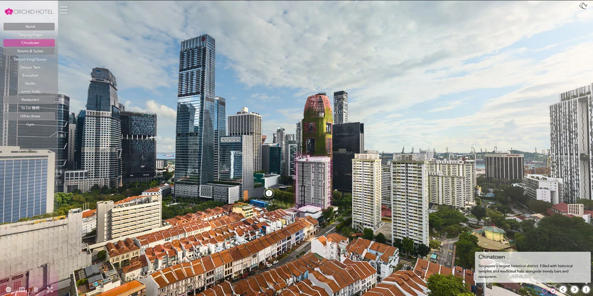
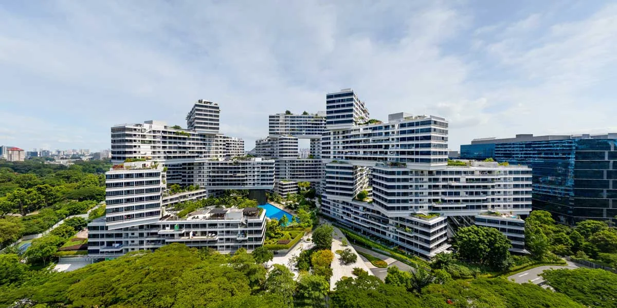
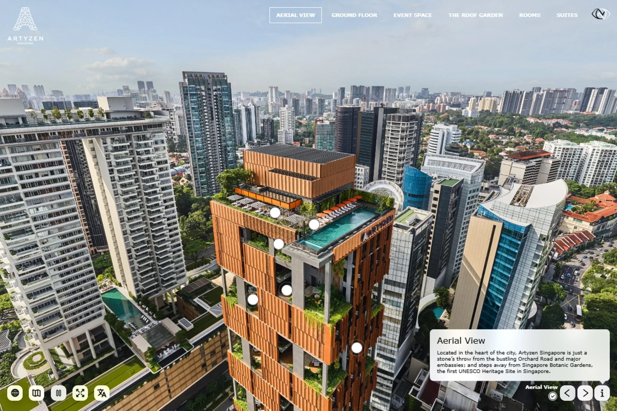
From the aerial 360 image, you get a bird's-eye view of the hotel's architecture and neighbourhood.
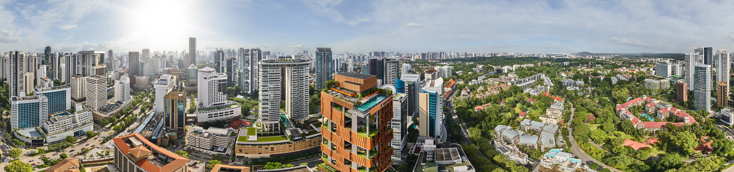
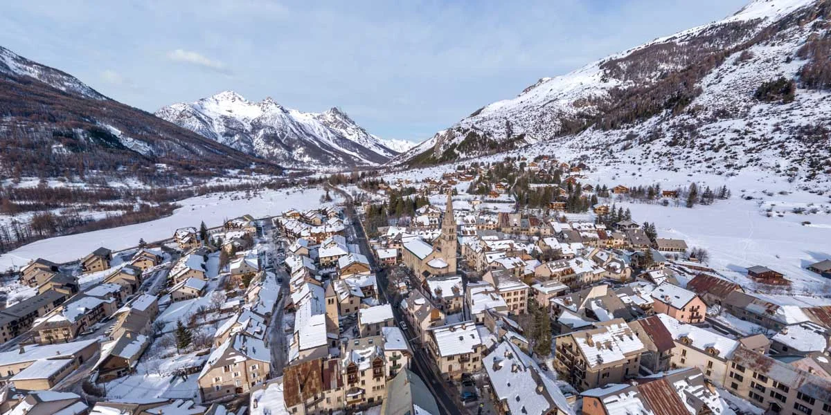
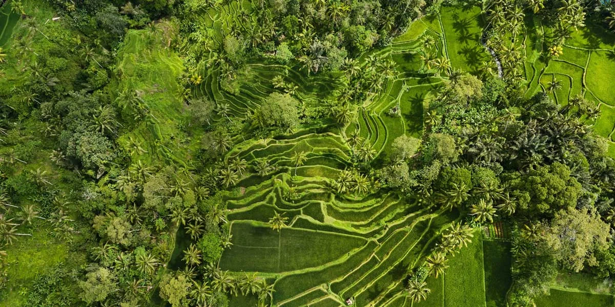
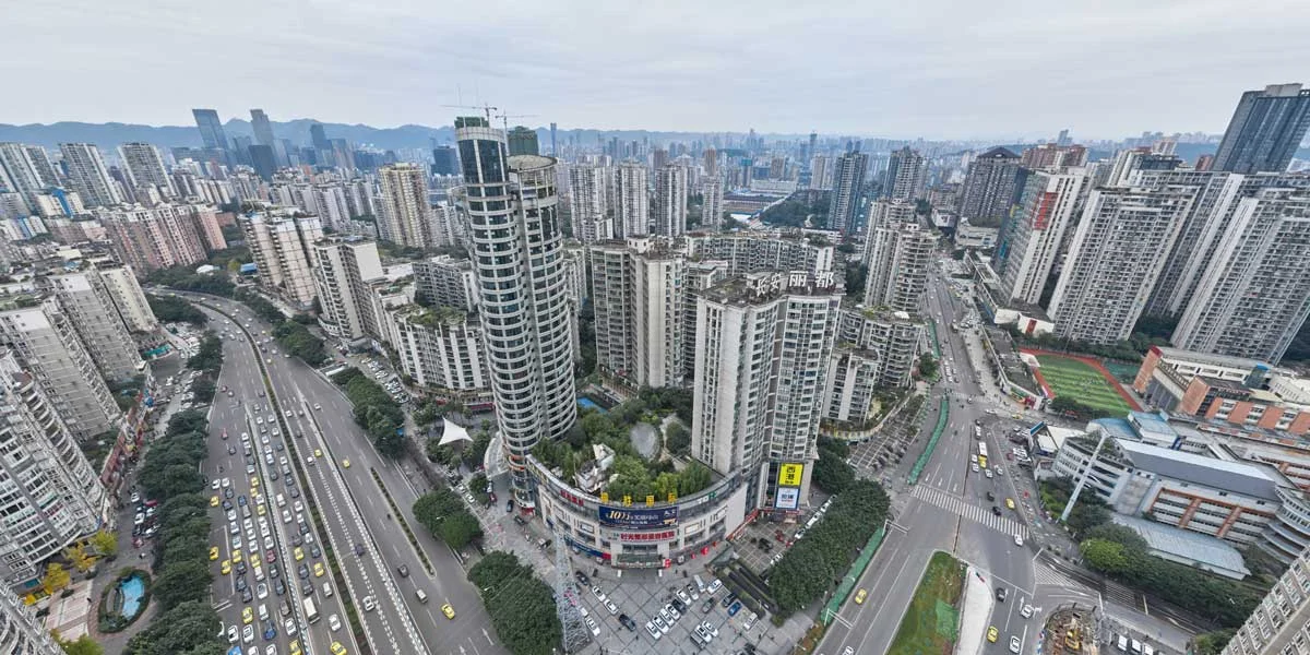
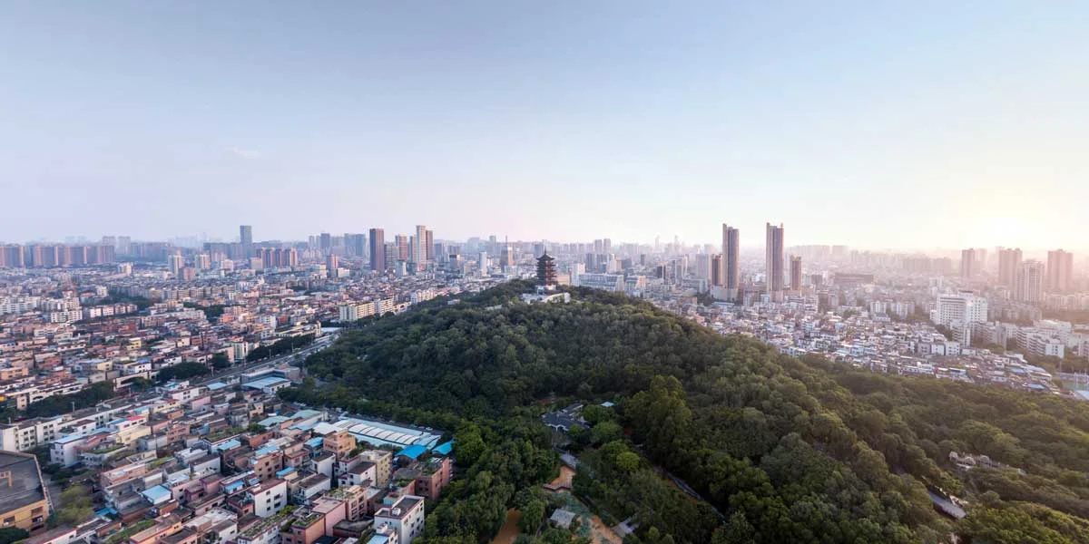
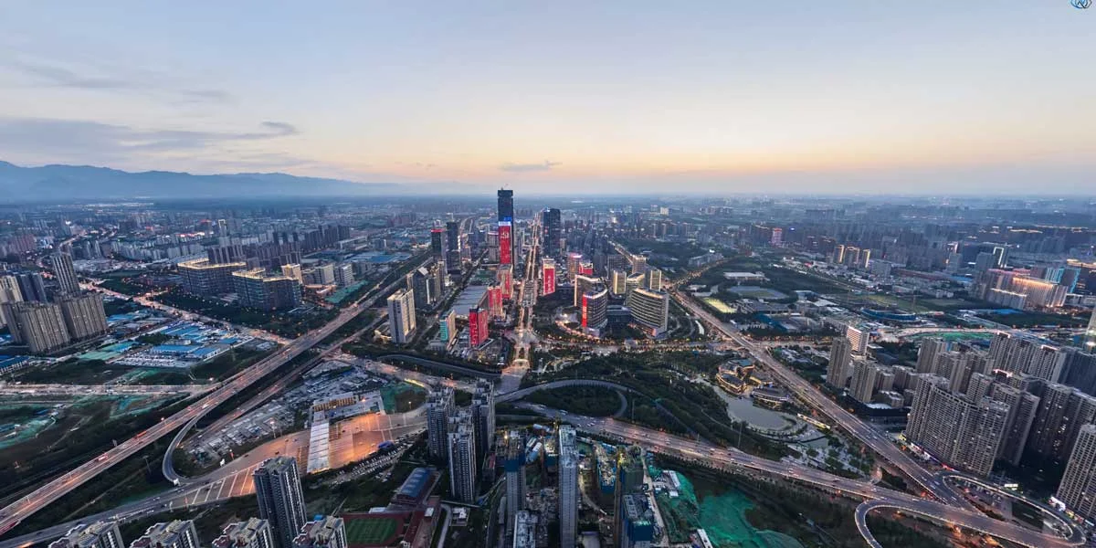
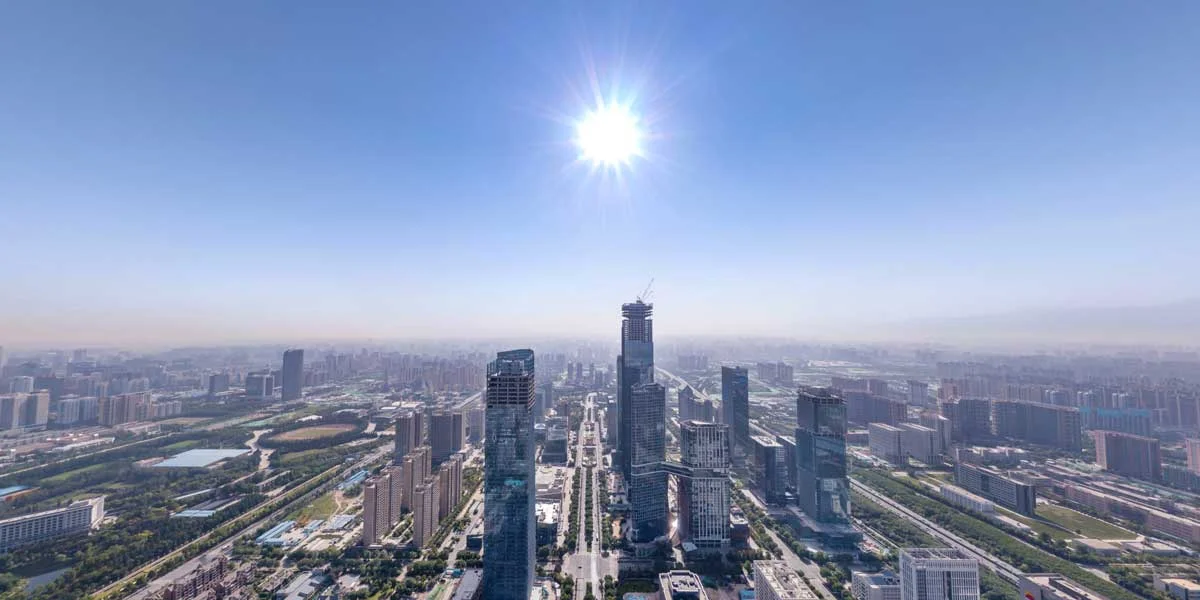
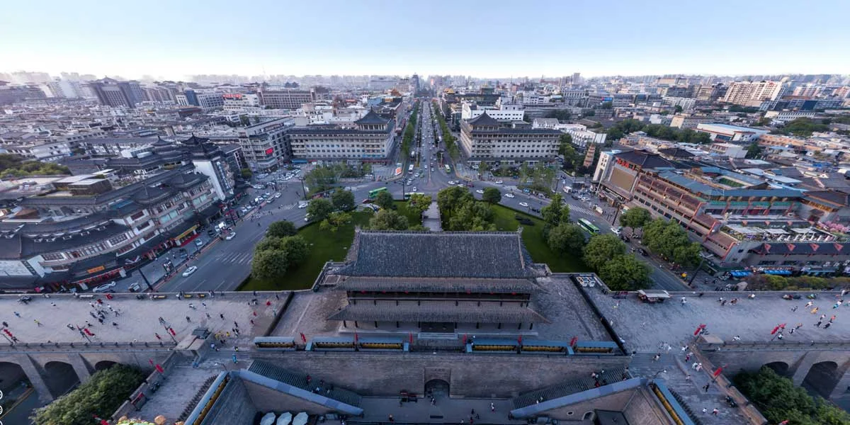
Aerial 360° photography offers a perspective that ground-level photography simply can't match. From hotel rooftops to university campuses, aerial panoramas give viewers a complete understanding of your property's layout, surroundings, and scale.
As a licensed drone operator with all required CAAS permits, we operate safely and legally across Singapore. Our aerial 360 panoramas integrate seamlessly into our virtual tours, adding a stunning opening experience that immediately engages viewers.
From the aerial 360 image, you get a bird's-eye view of the hotel's architecture and neighbourhood.
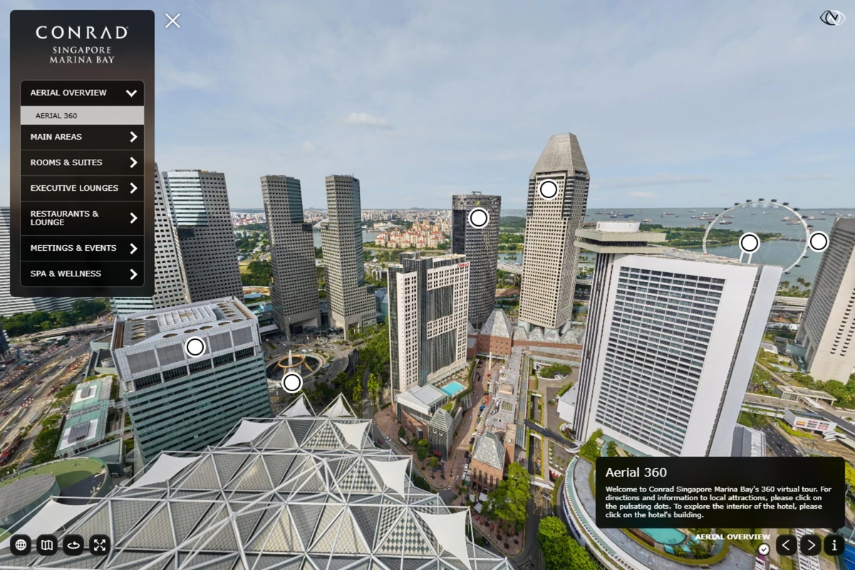
The aerial 360 places the hotel within the Marina Bay area and shows its position relative to surrounding buildings and attractions. Viewers can rotate the panorama and move directly from the aerial view into the hotel.
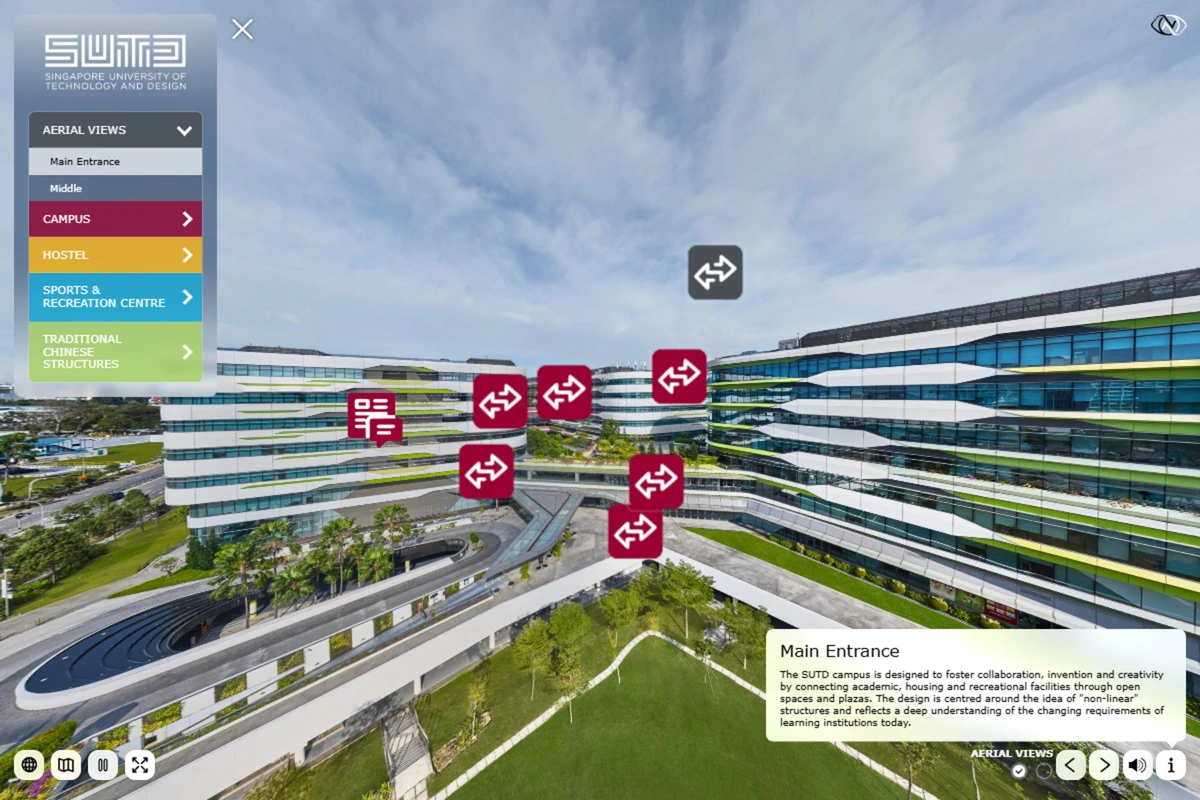
Two aerial 360 panoramas provide an overview of the SUTD campus and direct access to key areas. Navigation hotspots connect the aerial views to campus, hostel, sports and recreation, and traditional Chinese structures.
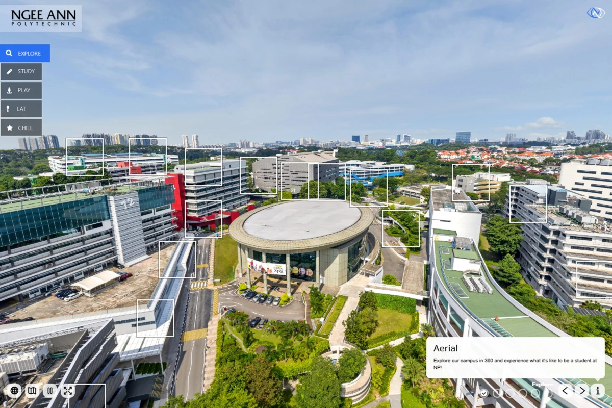
The aerial 360 panorama provides an overview of the campus. Navigation points connect the aerial view directly to schools, facilities and other locations.
Fully licensed drone operator with all required CAAS permits for commercial operations in Singapore. Safety-first approach on every flight.
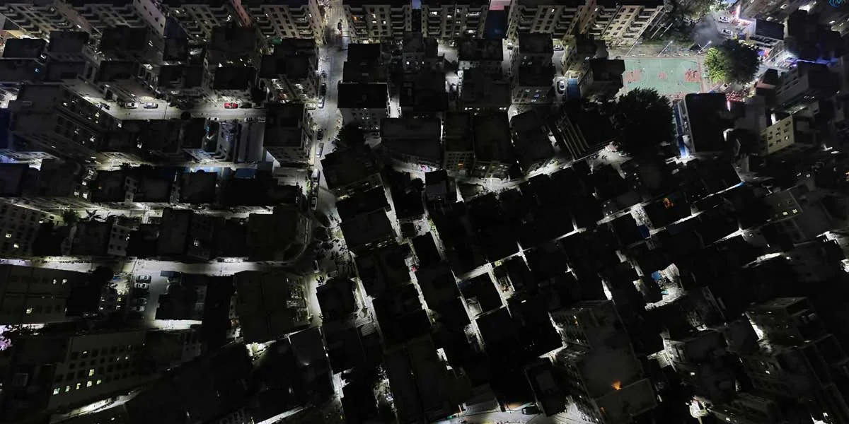
Full 360-degree aerial panoramas stitched from multiple high-resolution images. Seamless, immersive views from above your property.
Aerial panoramas integrate directly into our virtual tours, providing a dramatic entry point that transitions smoothly to ground-level views.
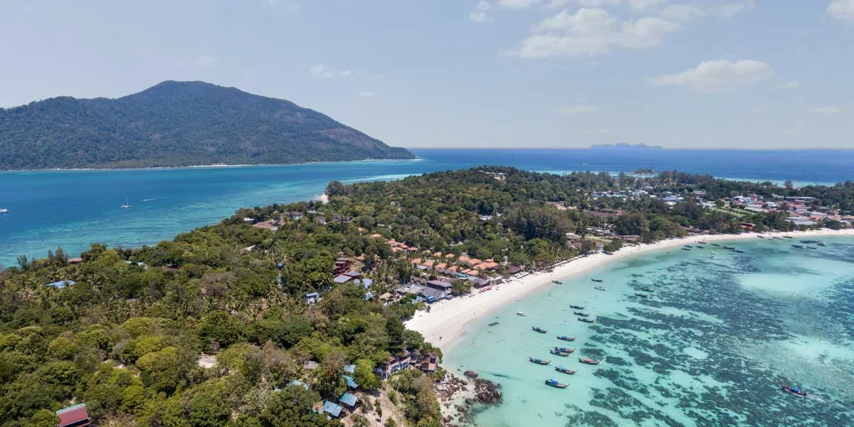
Showcase your property's location, grounds, pools, and surrounding area from a stunning aerial perspective.
Give prospective students a complete overview of your campus layout, buildings, and facilities.
Highlight the scale, surroundings, and location of residential projects for marketing materials.
Present commercial spaces with context. Show the neighbourhood, accessibility, and proximity to amenities.